Trail Routes
Trail running involves running in natural terrains, and we know a lot about that in Balmaseda because we are surrounded by nature. Do not miss out on our most interesting routes and always be careful.
These routes, in their popular version, are carried out in the KolitzaBalmatrail, that takes place annually in the month of October and are organized by the Eutsi Balmatrail Sports Association in collaboration with the Balmaseda City Council.
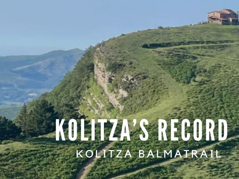
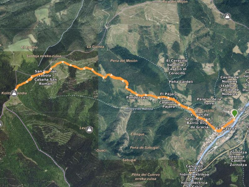
KOLITZA’S RECORD
TRAIL ROUTE- INTERMEDIATE DIFFICULTY
- Distance: 11,53 km
- Positive altitude gain: 719 m
- Elevation (min, máx): 148 m, 843 m
- Type of route: Circular
- Tracks: Wikiloc’s link
Route details
This is the route that around May is professionally contested with elite athletes and that in October has its popular version carried out in the KolitzaBalmatrail. The start and finish lines are located in the San Severino Square to continue through the GR123 and at the firebreak uphill to the right along the original old road. It reaches the hermitage and descends to link up with Correría Street.
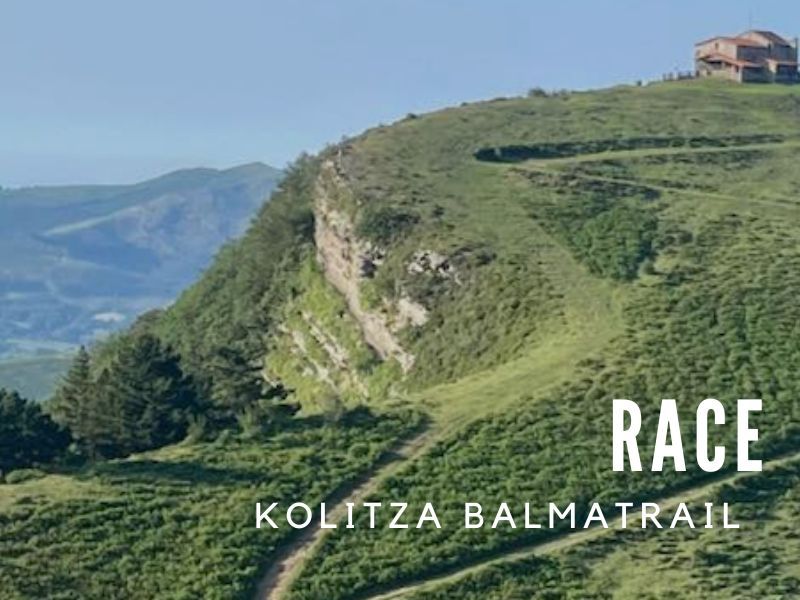
RACE
TRAIL ROUTE- INTERMEDIATE DIFFICULTY
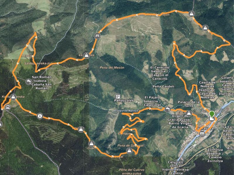
- Distance: 25,05 km
- Positive altitude gain: 1.190 m
- Elevation (min, máx): 147 m, 877 m
- Type of route: Circular
- Tracks: Wikiloc’s link
Route details
It is a circular route that starts and finishes at the church of San Severino (San Severino Square) and goes through the following points:
– Old Bridge (0.6 km)
– Garbea (6.4 km)
– Pico del Mojón (7.7 km)
– Guinea (10.0 km)
– Pico la Cueva (12.8 km)
– Kolitza (15.1 km)
– Los Tueros (17.0 km)
– Gueci (17.5 km)
– Sabugal (18.6 km)
– Cerro Del Castillo (24.0 km)
LONG WALK
TRAIL ROUTE- INTERMEDIATE DIFFICULTY
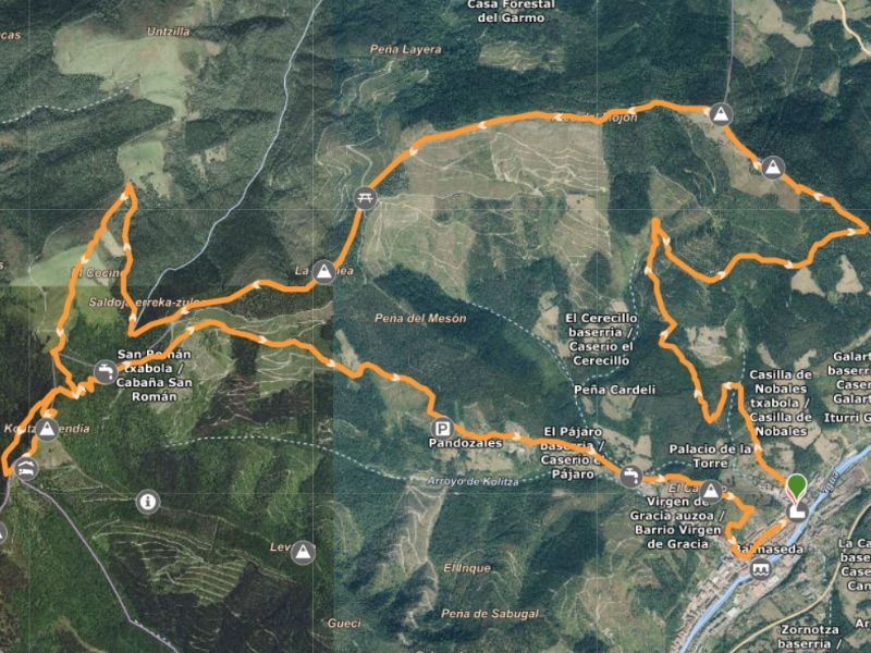
- Distance: 20,57 km
- Positive altitude gain: 1.082 m
- Elevation (min, máx): 138 m, 894 m
- Type of route: Circular
- Tracks: Wikiloc’s link
Route details
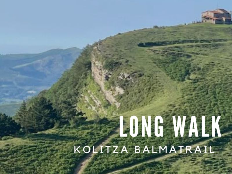
Start and finish at San Severino Square in Balmaseda. Beautiful mountain walk that goes up the most emblematic mountains of our Villa, such as Garbea, Pico la Cueva, Kolitza and Cerro del Castillo. The route goes through trails, tracks, forests, and fields with spectacular views.
Note that the time of 2 hrs and 59 min indicated in the track considers walking and running. If you choose to only walk, the time required to complete the entire route would be longer. Many people come to this route during the walk carried out in the KolitzaBalmatrail around October.
FAMILY WALK
TRAIL ROUTE- LOW DIFFICULTY
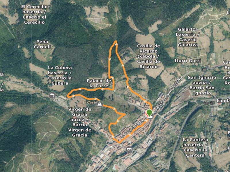
- Distance: 3,68km
- Positive altitude gain: 173 m
- Elevation (min, máx): 145 m, 245 m
- Type of route: Circular
- Tracks: Wikiloc’s link
Route details
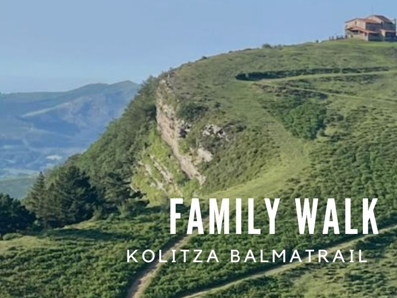
3.5 km walk, starting and finishing at San Severino Square. It goes up through Santo Domingo, follows the path until it reaches the El Arroyo path, goes up Cerro del Castillo and down Correría Street to the finish line. Many families come to this route during the walk carried out in the KolitzaBalmatrail around October.
Download the Street map